

Dec. 17, 2025
 Munții Măcinului landscape
Between 5 and 7 November 2025, a field data validation campaign was carried out within the EO4NATURE project.
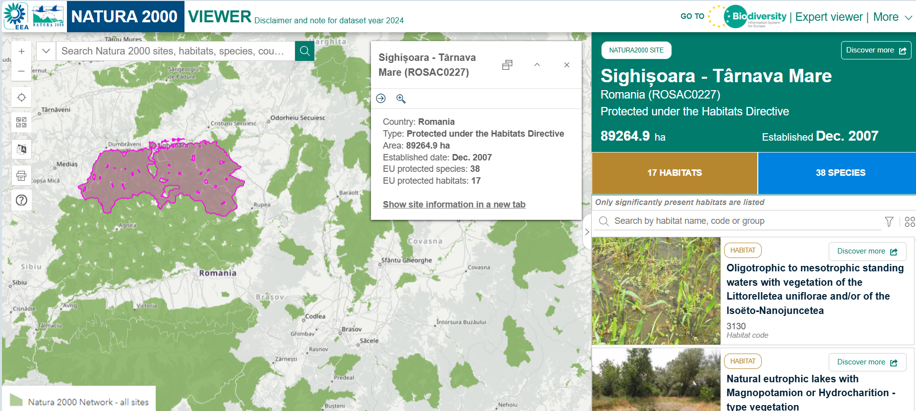
The ROSA team, together with Florian Bodescu from MULTIDIMENSION, travelled to Sighișoara, Romania, to validate EUNIS (European Nature Information System) habitats within the Sighișoara-Târnava Mare (ROSCI0277) site.
On 6 November, field activities were conducted in the Saschiz area, where visual inspections, geolocated photographs, and drone flights were carried out.
On 7 November, the team continued the validation activities in the Apold-Brădeni area, performing similar investigations. A drone flight was also conducted above aquatic surfaces, supporting the habitat validation process.
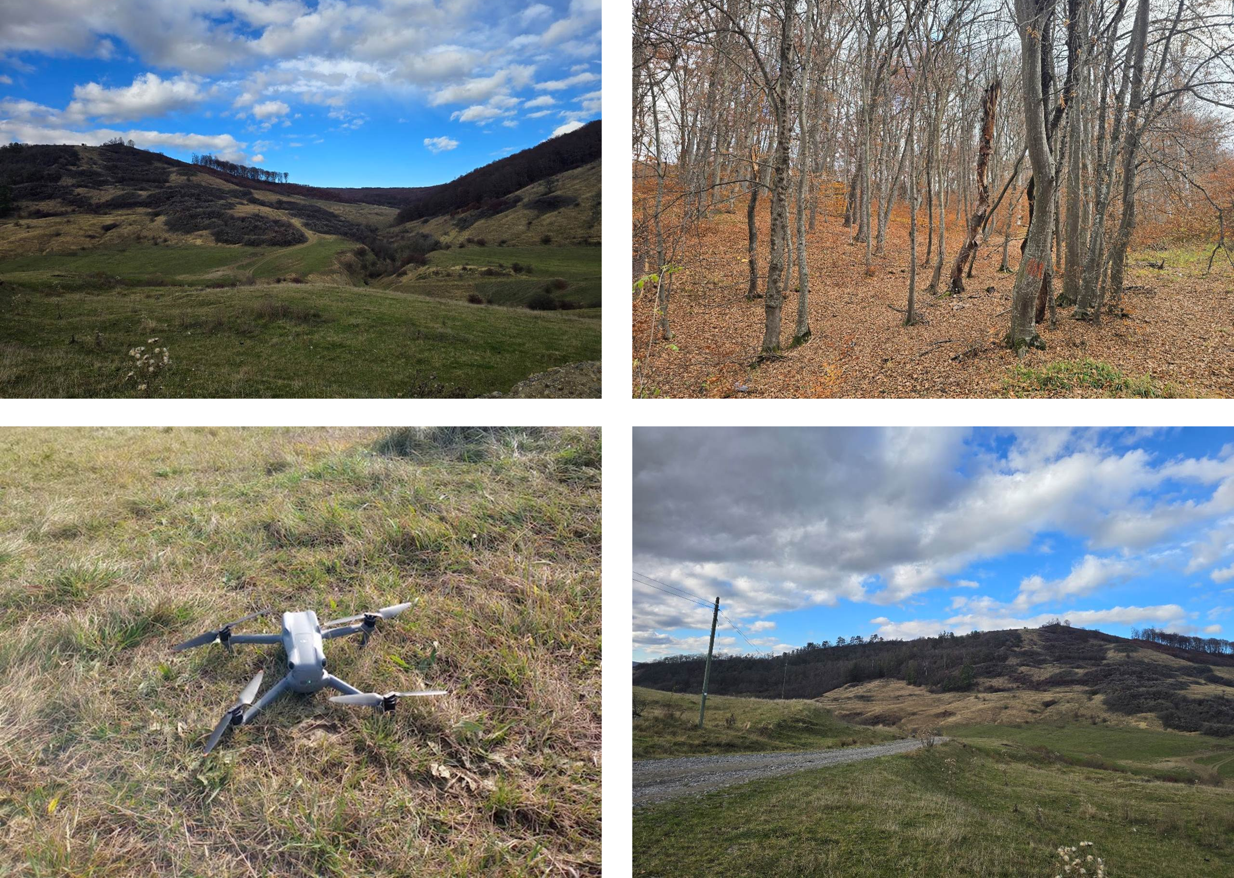
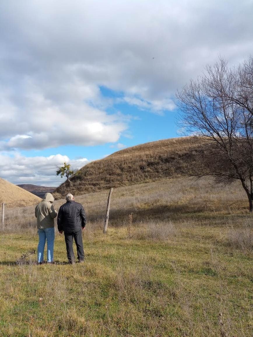
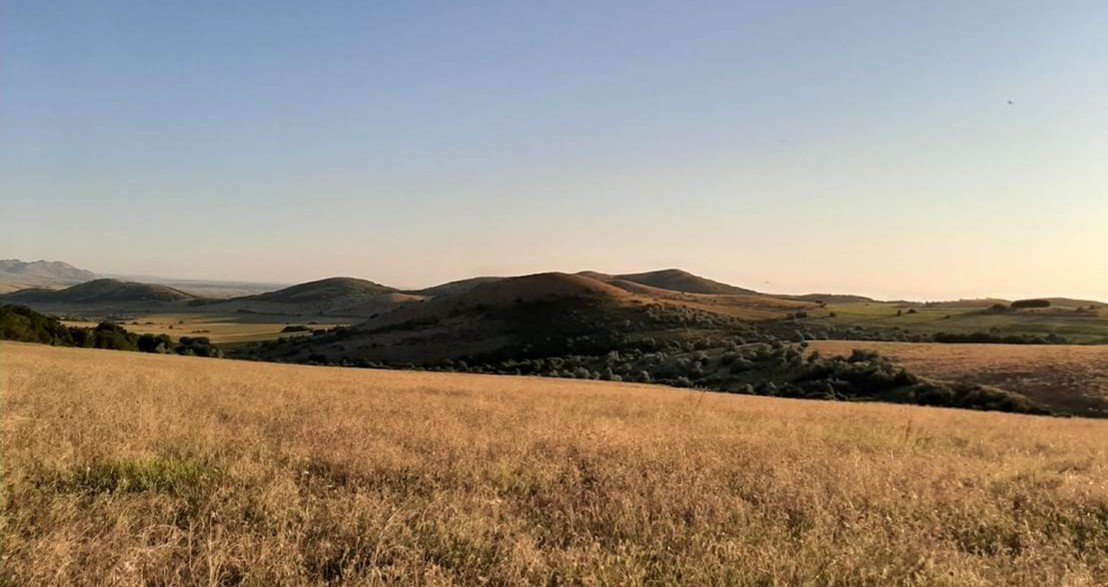
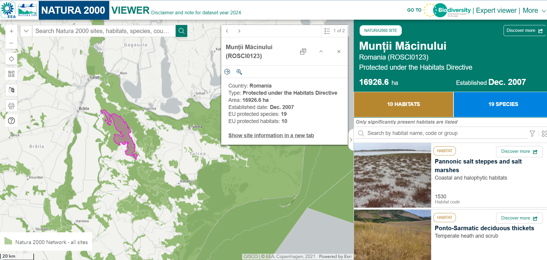
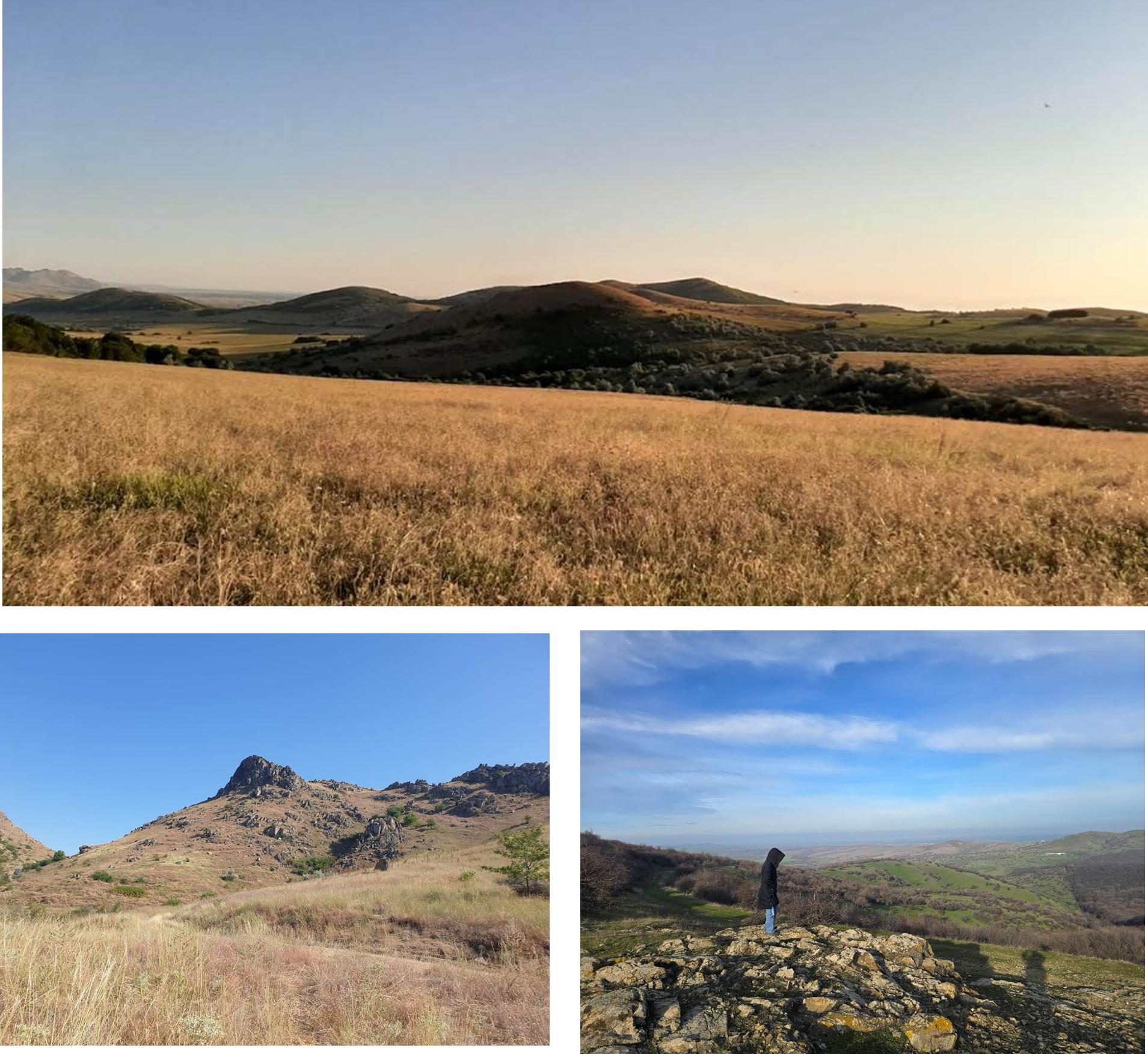
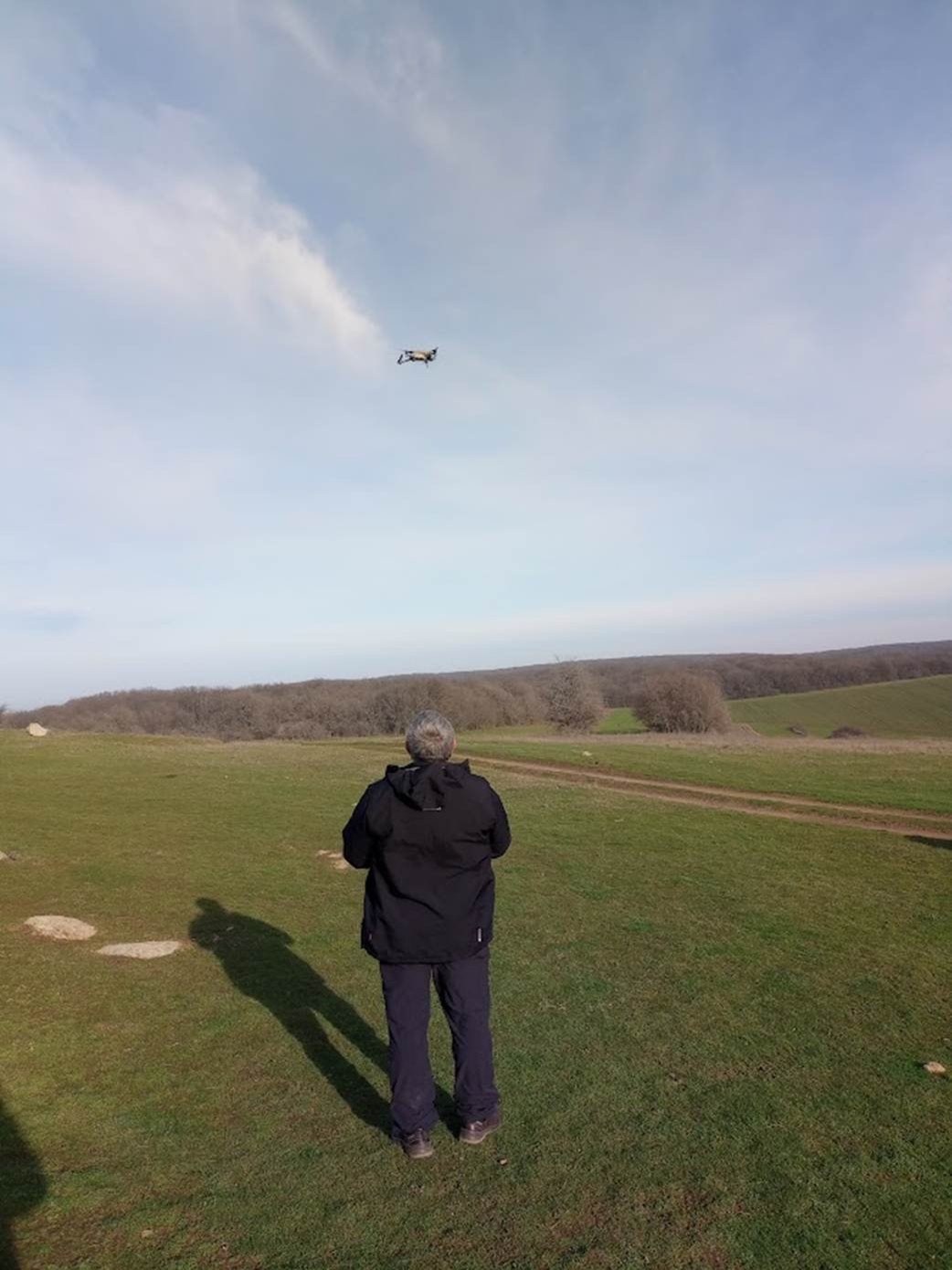
Between 15 and 17 December 2025, a second field validation campaign was organized by EO4NATURE in the Munții Măcinului (ROSCI0123) site.
On the first day, two observation points near the Țuțuianu ridge were investigated. The first point was located at the intersection of forest, grassland, and agricultural ecosystems, where field photographs and drone imagery were collected. The second point was at Pietrele Mariei, a granitic formation situated in a grassland area close to agricultural land. Observations were also made near Lake Sărat, which has dried up in recent years.
On the second day, activities focused on Lake Horia, where drone imagery supported the mapping of the lake basin and field observations documented water retreat and invasive vegetation. The team also visited the archaeological site of Troesmis to observe changes along the Măcin Branch (Old Danube).
These campaign activities generated essential data supporting habitat validation efforts within the EO4NATURE project.
Continue exploring other European Environment Agency (EEA) Natura 2000 habitats: https://natura2000.eea.europa.eu