

Feb. 19, 2026
 Image from Vecteezy. For illustrative purposes only
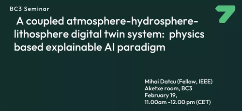
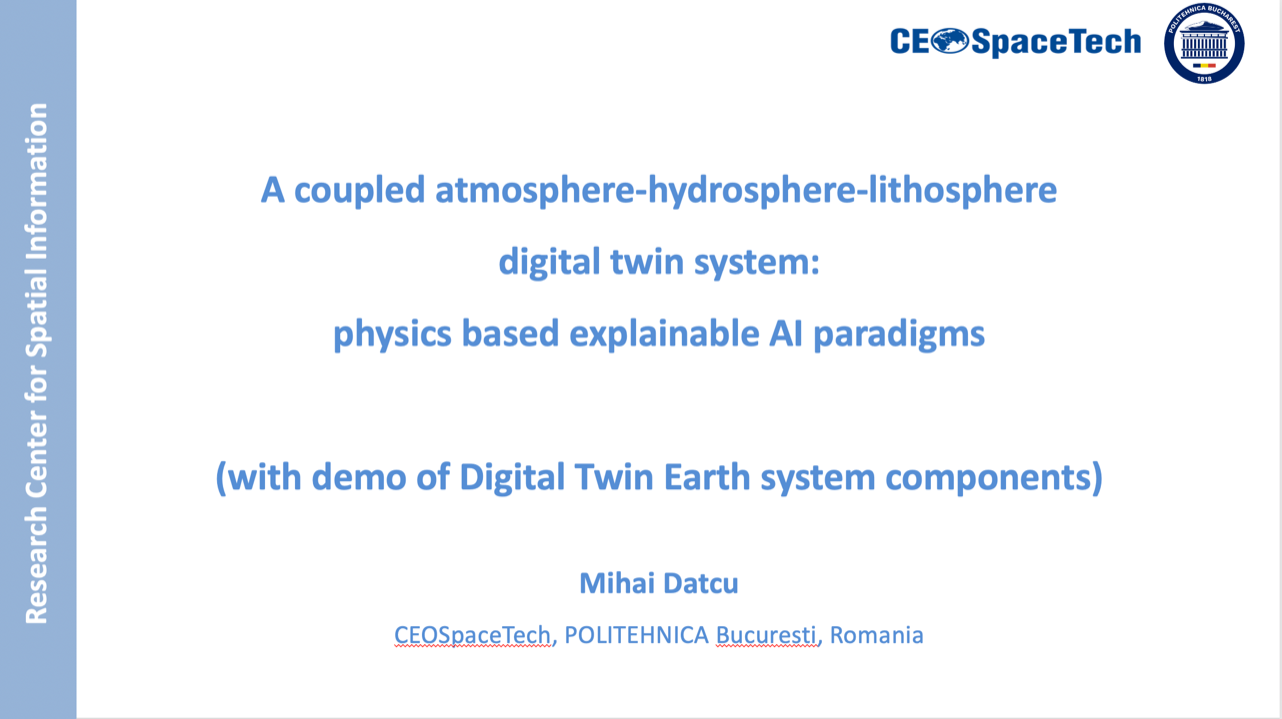
The DTEClimate principal investigator recently presented key project advancements during an invited seminar at the Basque Centre for Climate Change (BC3), delivering a talk entitled “A Coupled Atmosphere–Hydrosphere–Lithosphere Digital Twin System: Physics-Based Explainable Artificial Intelligence Paradigm."
The presentation focused on techniques for integrating artificial intelligence with Earth observation data, including the use of counterfactual explanations in EO applications, explainable AI approaches to support climate change adaptation at human-activity scales, and physics-aware AI frameworks for analyzing data from diverse sensor networks. By integrating observational data with advanced modelling frameworks, such as digital twin systems, predictive capabilities can be improved. This offers better support for the monitoring of natural hazards and climate-driven phenomena.
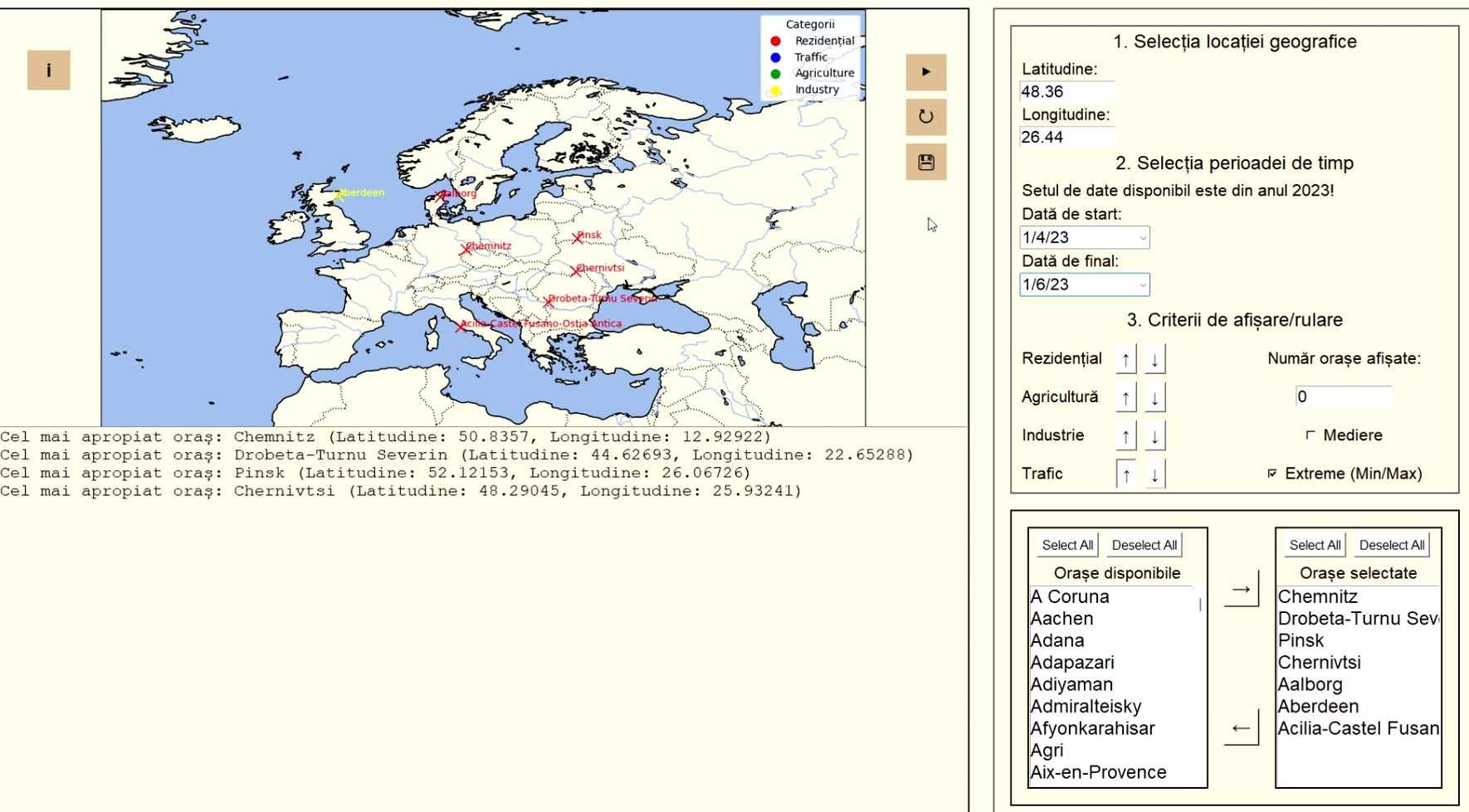
Several case studies from the project were presented.
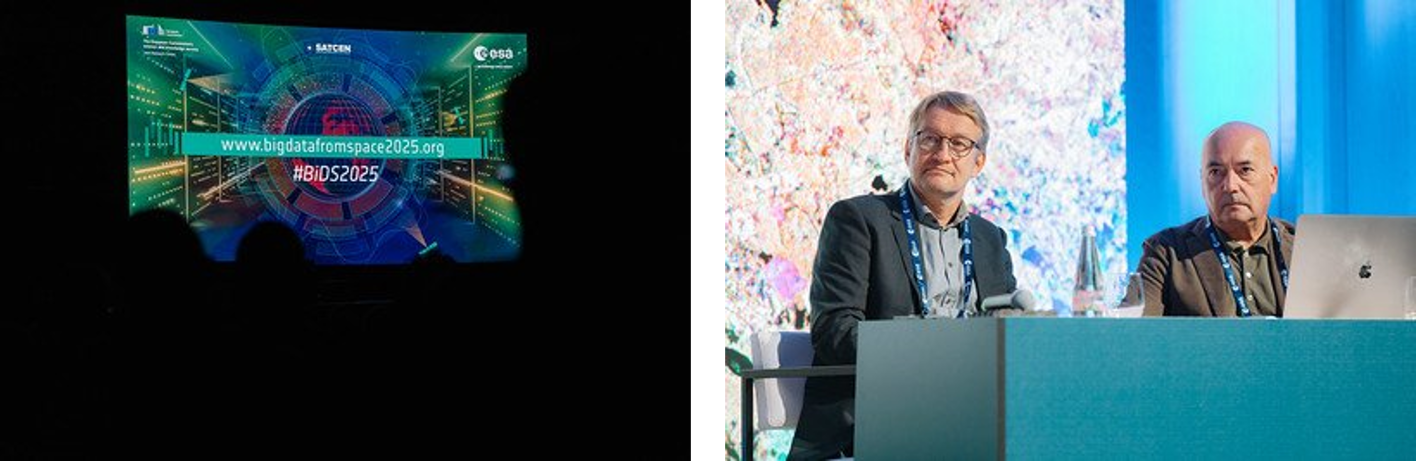
A similar presentation has been delivered at the 2025 Big Data from Space (BiDS) conference organized between 29 September and 3 October 2025 in Riga, Latvia. This is a major biennial event focused on the intersection of large-scale satellite data, artificial intelligence, and cloud computing.
DTEClimate, through its five specialized subprojects, contributes to supporting integrated climate adaptation strategies through advanced digital technologies and Earth Observation.
Sources: